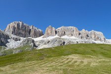
The alpine hiking tour across the Sella Group takes us to its highest summit, Mt Piz Boé at 3,152 m asl
Image gallery: Alpine tour from Mt Sass Pordoi to Mt Piz Boé
-
-
-
Video : Sunrise on Mt. Piz Boè
-
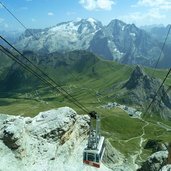
1319143735_D-0838-funivia-pordoi-e-marmolada.jpg
-
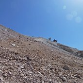
1319143735_D-0850-sass-pordoi-e-gente-che-sale-a-piedi.jpg
-
1319143735_D-0816-stazione-a-monte-funivia-pordoi.jpg
-
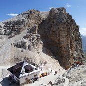
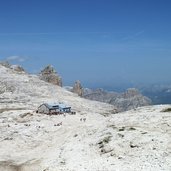
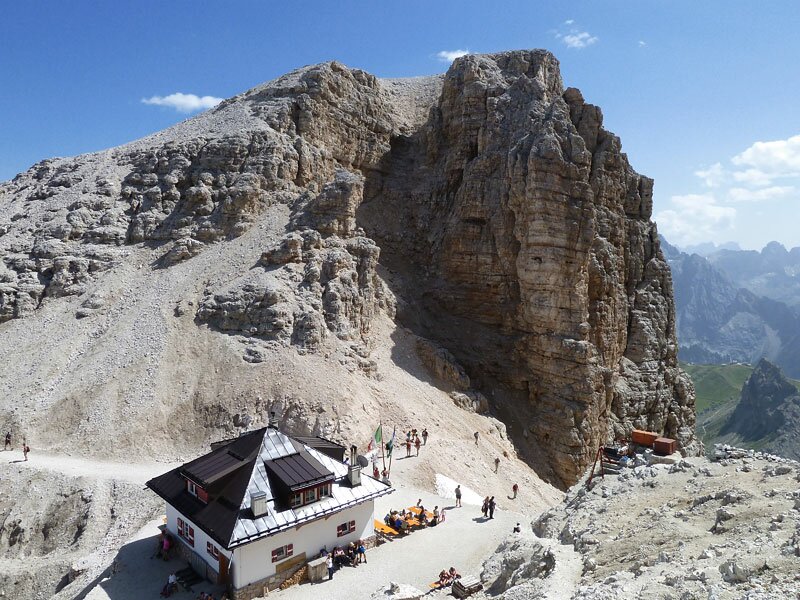
1319143735_D-0799-rifugio-forcella-pordoi.jpg
-
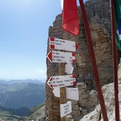
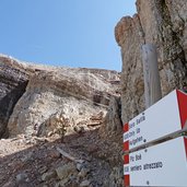
1319143735_D-0788-segnavia-per-rifugio-boe.jpg
-
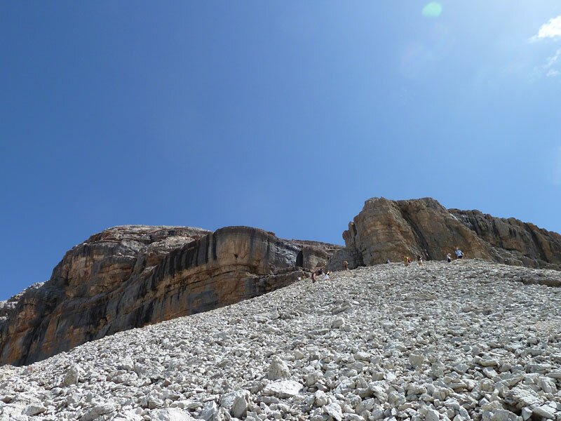
1319143735_D-0769-sentiero-per-rifugio-boe-sat-627.jpg
-
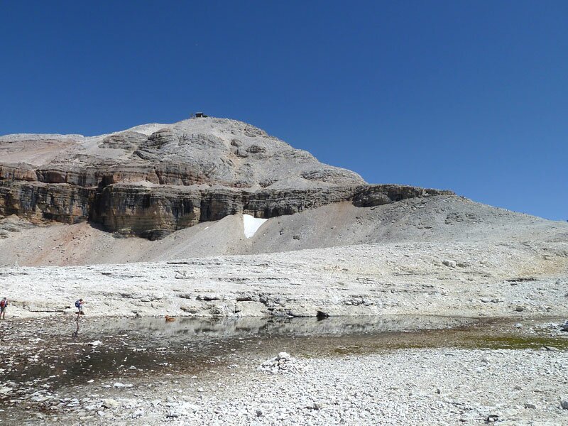
1319143735_D-0763-laghetto-e-piz-boe.jpg
-
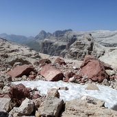
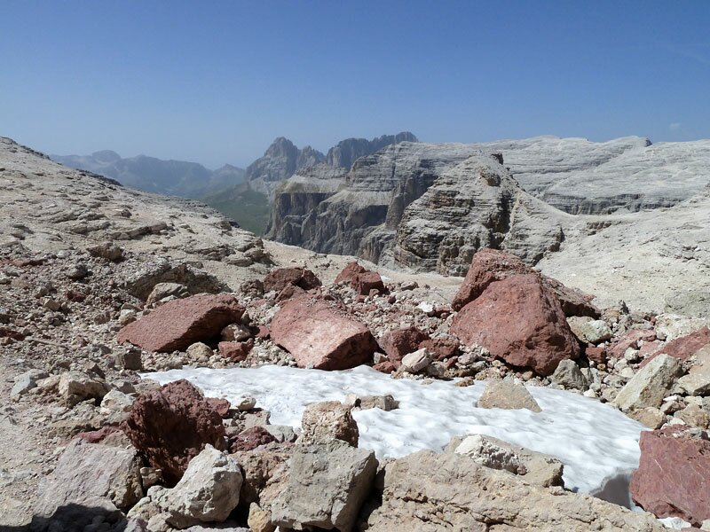
1319143735_D-0745-sassi-rossi-e-resti-di-neve.jpg
-
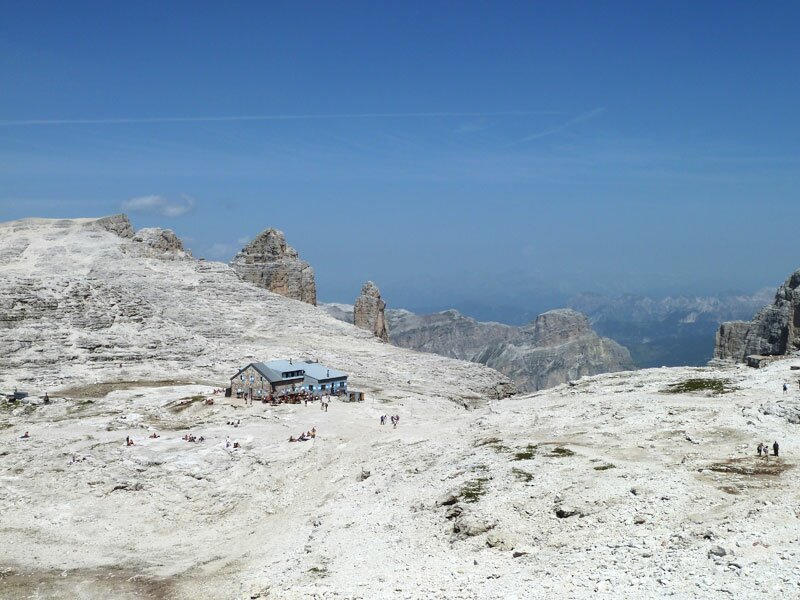
1319143735_D-0722-rifugio-boe-boe-huette.jpg
-
1319143735_D-0693-salita-sul-piz-boe.jpg
-
1319143735_D-0687-senso-unico.jpg
-
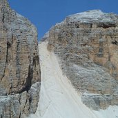
1319143735_D-0684-val-di-mezdi-e-ferrata.jpg
-
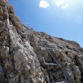
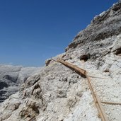
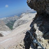
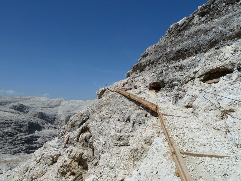
1319143735_D-0683-tratta-attrezzata.jpg
-
1319143735_D-0676-ultimo-pezzo-salita.jpg
-
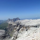
1319143735_D-0659-vista-sulla-val-badia-arabba-e-fanes.jpg
-
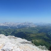
1319143735_D-0657-vista-vesto-ovest-con-sassolungo.jpg
-
1319143735_D-0649-quasi-arrivati-in-cima.jpg
-
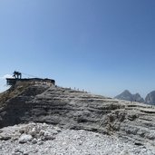
1319143735_D-0623-croce-della-vetta-piz-boe.jpg

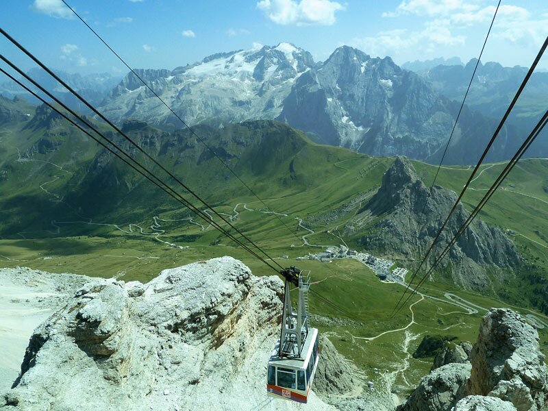
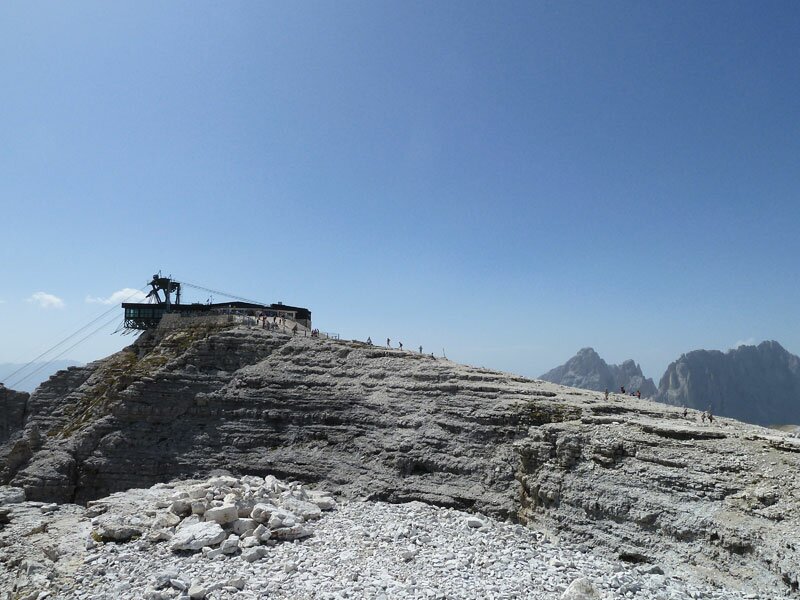
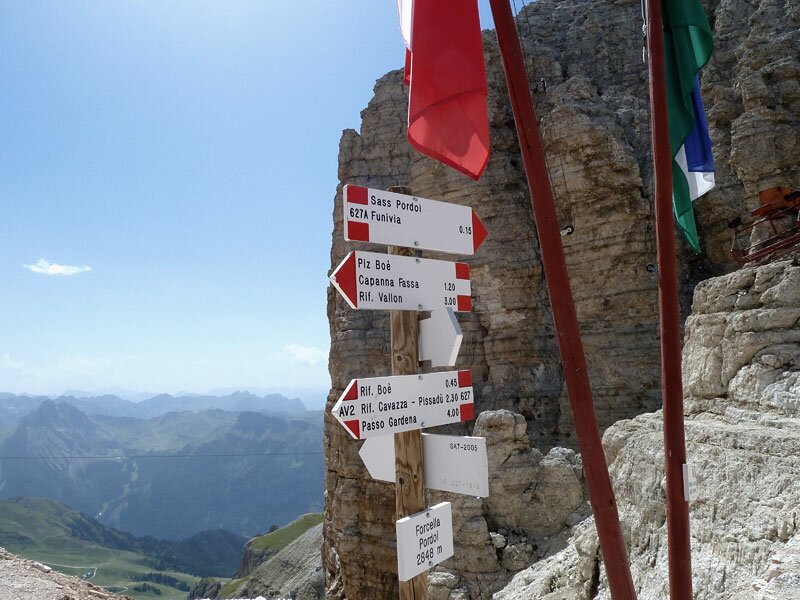
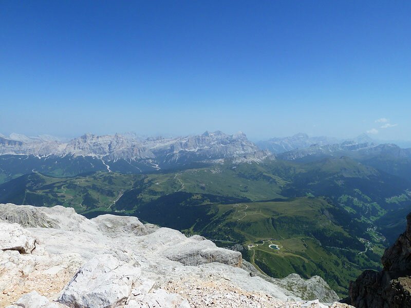
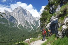
We start our hiking tour at Passo Pordoi (2,240 metres asl) above Canazei in the Val di Fassa, where we take the cable car up to the 2,947 metres high Mount Sass Pordoi at the southwest boarder of the Sella mountain range. From here, a trail leads up to the Pordoi mountain pass, where the alpine trail no. 627 towards the Rifugio Boé begins (which partly corresponds to the Alta Via delle Dolomiti AV no. 2).
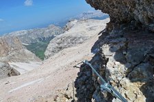
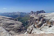
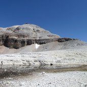
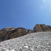
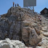
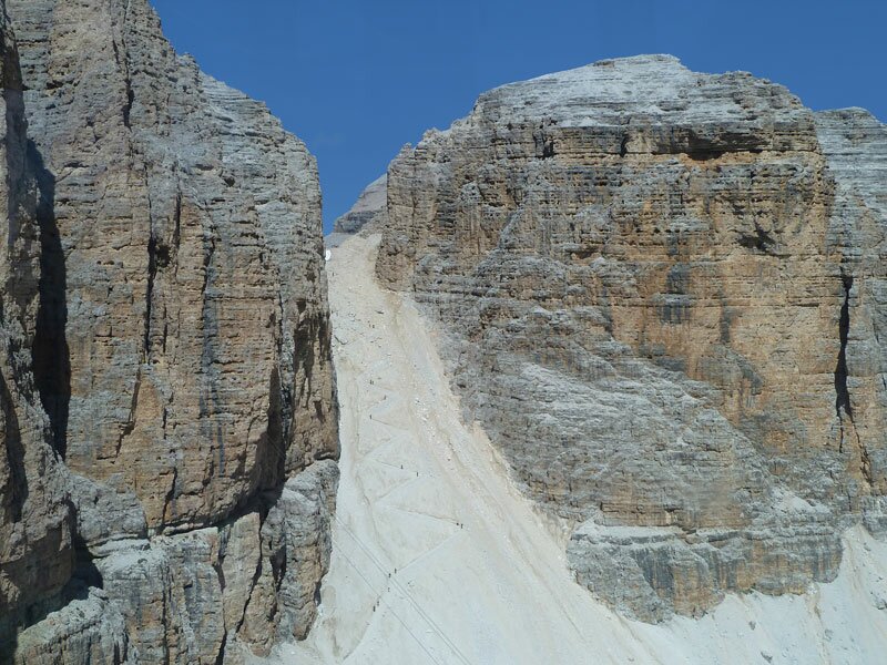
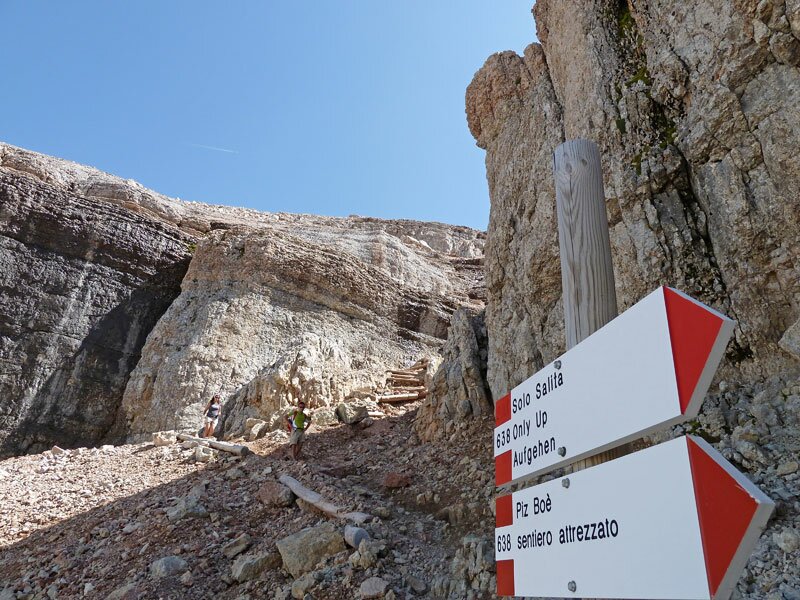
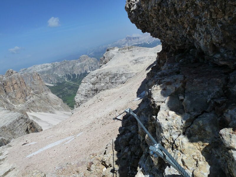
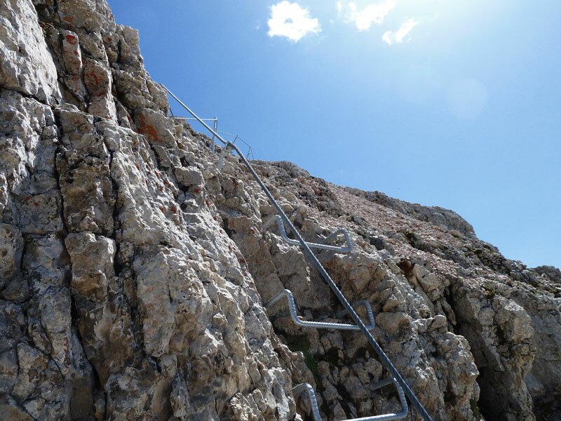
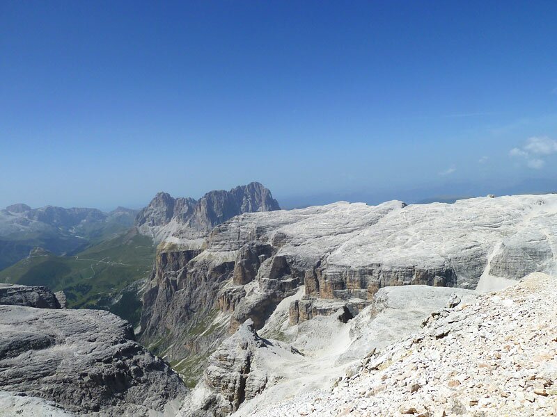
We cross a bizarre moon-like landscape while we get closer to the Rifugio Boé, which lies at the upper end of the Val di Mezdí. Before the Rifugio Boé, trail no. 638 branches off to the right, towards the peak of Mount Piz Boé. From here, we have to hike steeply upwards. The most difficult sections are secured by ropes.
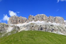
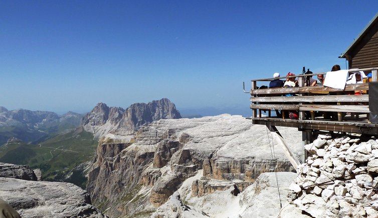
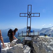
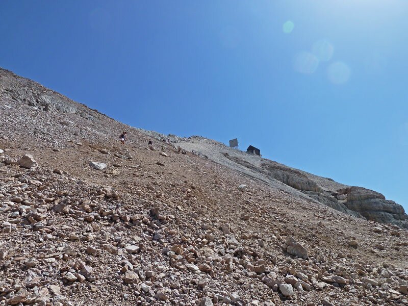
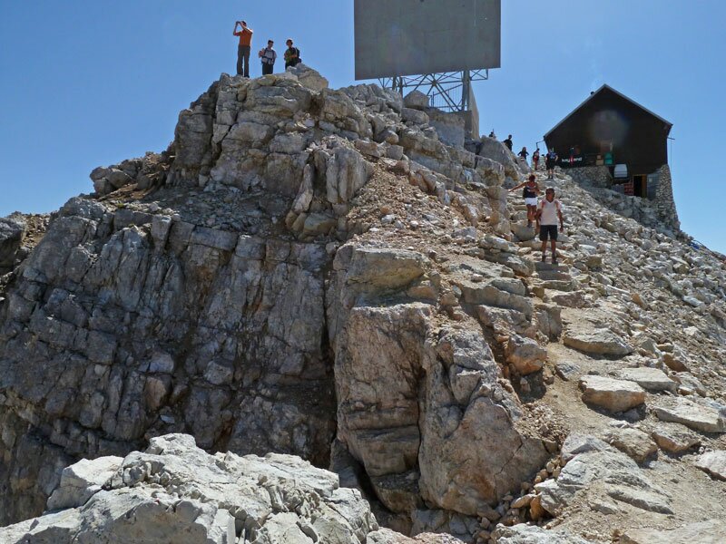
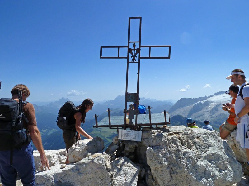
After two hours of hiking, we finally arrive at the peak of Mount Piz Boé with its peak cross, the tiny wooden rifugio Capanna Fassa and its wonderful 360°- view of the surrounding Dolomites peaks: Fanes, Marmolata, Sassolungo, Odle. We reached the peak of Mount Piz Boé on the easiest trail. However, if you would like to hike on the shorter but steeper trail, just follow the signpost “Capanna Fassa / Piz Boe” at the Pordoi mountain pass.
Author: AT
-
- Starting point:
- mountain station of the Sas Pordoi Cable Car (Passo Pordoi, Canazei)
-
- Time required:
- 03:15 h
-
- Track length:
- 7,8 km
-
- Altitude:
- from 2.830 m to 3.152 m
-
- Altitude difference:
- +561 m | -561 m
-
- Signposts:
- SAT 627, 638, AV 2
-
- Destination:
- Capanna Fassa, Piz Boé (summit)
-
- Resting points:
- Rifugio Maria, Rifugio Forcella Pordoi, Rifugio Boé, Capanna Fassa mountain huts
-
- Recommended time of year:
- Jan Feb Mar Apr May Jun Jul Aug Sep Oct Nov Dec
-
- Download GPX track:
- Alpine tour from Mt Sass Pordoi to Mt Piz Boé
If you want to do this tour, we suggest you to check the weather and trail conditions in advance and on site before setting out.