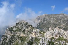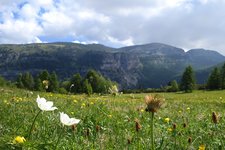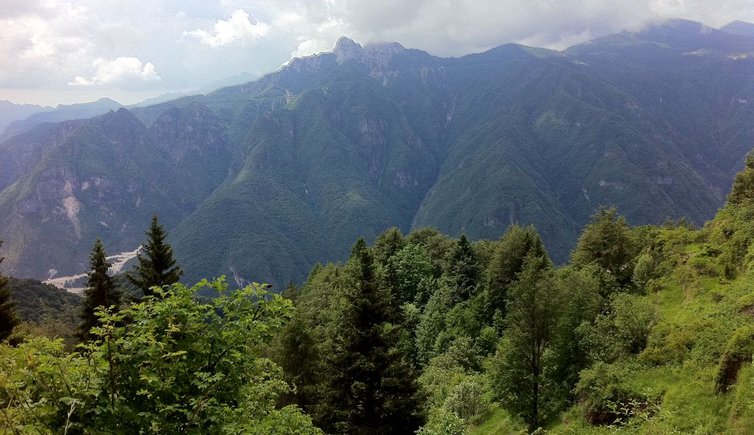
An imposing mountain group above the Vallarsa valley and Valli di Terragnolo
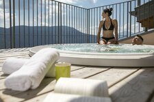
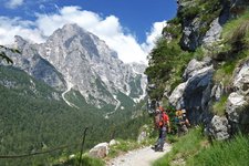
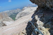
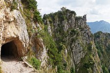
Image gallery: Pasubio Group
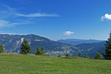
The Pasubio is situated at the border of the Provinces of Friuli-Venezia Giulia and Trentino and extends between the Passo Pian delle Fugazze near Rovereto and the Passo Borcola, about 30 km in linear distance from Lake Garda. The mountain range belongs to the pre-Alps and is situated near the "Piccole Dolomiti" (Little Dolomites) on the Altopiano di Folgaria. The highest elevation is the Cima Palòn (2.236 m a.s.l.).
The most popular starting points for numerous hikes are the Passo Fugazze and the Passo Xomo. At the Rifugio Vincenzo Lancia mountain hut, the European long-distance path E5 starts and leads to the Rifugio Generale Papa at 1,928 m a.s.l., only a few metres from the summit, which offers a splendid 360° view on the highest peaks of the Trentino, from the Adamello group to the Pale di San Martino.
Our recommendation: the 6.2 km long "Sentiero della Galleria" starts at the Passo Xomo! This historical path was established in 1917 in WWI and leads to the summit through 52 tunnels.
Highest peak: Cima Palòn (2,236 m a.s.l.)
Major peaks: Roite (2,144 m a.s.l.), Col Santo (2,112 m a.s.l.)